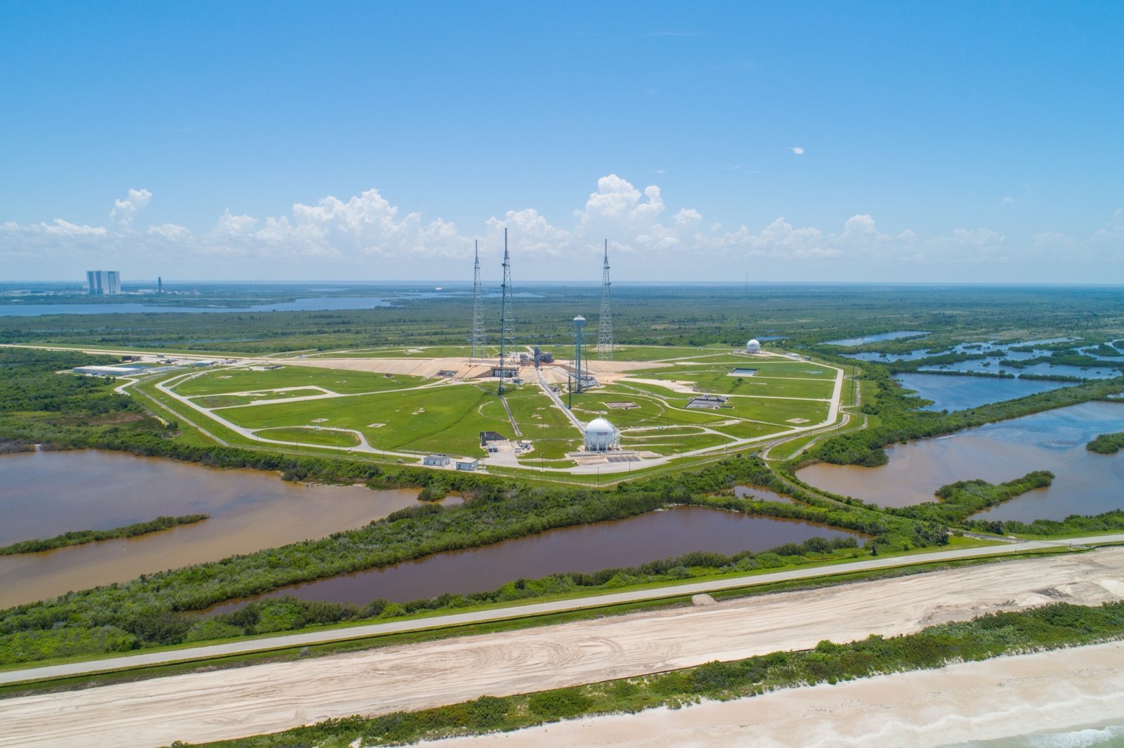
Spaceports & Defense
One Failed Constraint Can Kill a Spaceport Site
Blast envelopes, acoustic buffers, and bedrock stability: why a single constraint disqualifies a launch site.
Read More →Screen target land parcels, model net buildable envelopes, and generate audit-ready financial feasibility for commercial real estate development in under 3 minutes.
The same spatial evidence engine, structured specifically for your workflow.
Discover unconstrained parcels within target search corridors, isolate net buildable envelope, and evaluate cost exposures before committing due diligence budget.
Screen contiguous land for grid interconnection headroom and hazard buffers across data centers, BESS, solar, and industrial infrastructure sites.
Terrain slope, InSAR subsidence, flood overlays, and soil shrink-swell risk alongside Phase 1 contamination screening. Citation-backed findings.
Audit physical collateral integrity for debt underwriting, assessing environmental, structural, and ground movement risks securing the asset.
One spatial evidence engine, tuned to the buildable envelope, cost exposure, and siting constraints of 10 distinct asset classes.
Escalate depth as conviction grows. From instant regional parcel discovery to institutional investment committee dossier.
Select a search corridor to instantly map boundary-verified cadastral parcels and detect contiguous parcel assemblies for large-footprint projects.
Exclude unbuildable land areas across flood zones, steep slope gradients (>15°), InSAR ground subsidence, and statutory planning designations.
Model sector-specific GFA, NRSF/NLA unit mix, regional asking rent benchmarks, and P50 ground earthworks exposure across 10 asset classes.
Generate an audit-ready, confidence-graded evidence pack suitable for investment committee, lender underwriting, or LP due diligence sign-off.
Not every data point carries the same weight. PropVeritas cross-references satellite earth observation with national regulatory and geological registries, providing a confidence-graded audit trail behind every ground risk, planning constraint, and buildability assessment.
Multi-pass radar ground stability, terrain slope, soil shrink-swell, and flood risk overlays.
Statutory designations, rights-of-way, historical land use, and vision AI map analysis.
Net usable buildable envelope and financial yield scoring across 10 specialized asset classes.
Decision-ready outputs for land, buildings, and portfolios.
Draw a region and discover every real land parcel inside it, with zoning, heritage, and rights-of-way flagged before any satellite pass runs.
Screen sites for contamination risk, soil stability, and remediation reserves before committing to feasibility spend.
Planning context, market demand, nearby competition, and indicative feasibility margins across 10 commercial sectors in one Go/No-Go verdict.
A full evidence dossier built for professional sign-off: ranked findings, regulatory citations, and confidence ratings.
Compare shortlisted assets side-by-side before acquisition, or rank an entire portfolio by priority for investment decisions.
Automated screening for EPBD 2030, UK MEES, NYC LL97, and EU Taxonomy stranding risks before building acquisition or retrofit.
Every finding traces back to a source and carries a confidence rating. Satellite observation fused with national regulatory registries.
Satellite signals capture terrain, ground stability, and land history from orbit.
Cross-referenced against authoritative planning, environmental, and regulatory registers.
Physical signals map to regional cost tables, quantifying earthworks and remediation liabilities.
Each datapoint carries a confidence rating for institutional underwriting defense.
Sentinel-1 & Sentinel-2 (ESA Copernicus) · NASA Earth Observation · National 3D LiDAR Survey · HyP3 InSAR Ground-Motion Analysis · HM Land Registry · PDG Planning API
Avoid six-figure surprises before due diligence begins.
Request Sample Report →Find the parcel, then find the risks that turn into project costs before your next acquisition. PropVeritas provides independent, evidence-graded signals for developers, promoters, family offices, and environmental consultants.
Objective signals for portfolio-wide screening without requiring site access.
Risk summaries and phased recommendations that directly support capital decisions.
Developers and environmental consultants: identify structural liabilities and construction cost exposure before your next investment decision.
Blast envelopes, acoustic buffers, and bedrock stability: why a single constraint disqualifies a launch site.
Read More →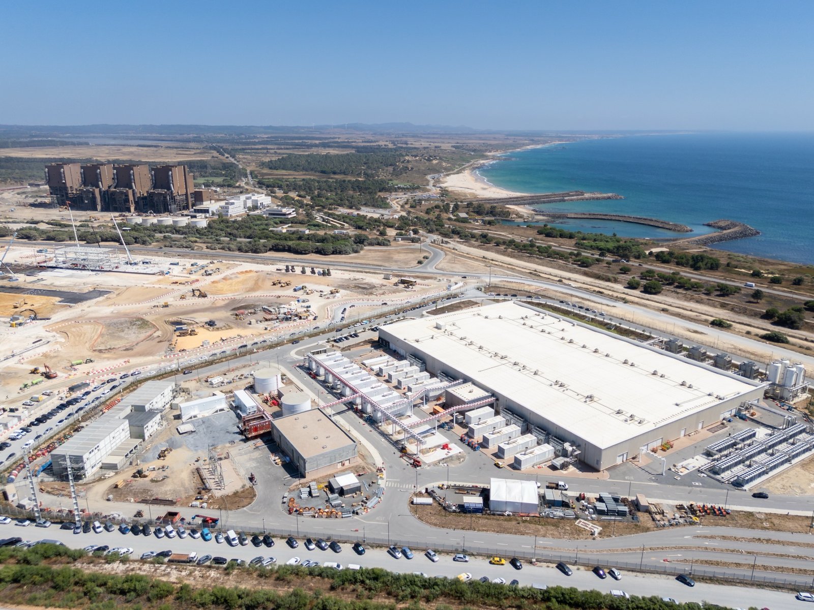
Grid queues, dark fiber redundancy, and cooling feasibility: what decides whether a 100MW+ campus gets built.
Read More →
Insurance is no longer a static expense. How climate-linked repricing affects NOI, DSCR, and refinancing.
Read More →